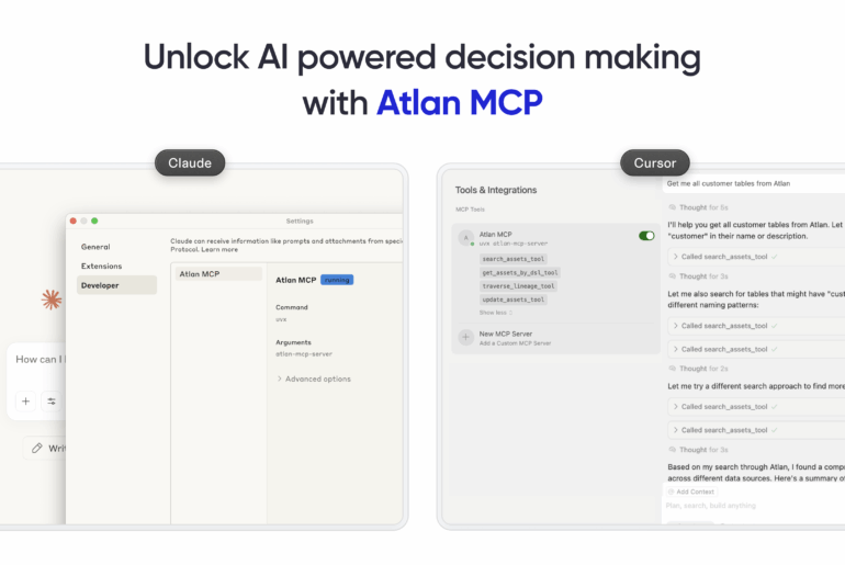
Whether it’s answering questions, automating tasks, or driving business decisions, modern data teams are embracing AI assistants to move faster. But these tools often fall short when it comes to context. AI agents don’t know where your trusted data lives. They can’t trace relationships across assets or understand how changes will ripple through your stack. Without access to metadata, they’re…
Our week just got off to a brilliant start as we joined the third batch of Surge, a program by Sequoia Capital for rapidly scaling startups. Sequoia Capital has helped build leading global enterprises, from idea to IPO and beyond. They have backed the world’s most legendary #FutureofWork tools — Zoom, Github, Loom, Figma – and now, Atlan!Prukalpa Sankar, co-founder…
The short of it… we’re opening up our Atlan Grid API for teams everywhere! 🎉 We’re making it easier for teams everywhere to access the data they need, when they need it. Think minutes, not months. With the API, you can enrich your understanding of any entity—customers, outlets or geographies—by accessing indicators such as affluence, demographics and more. All updated…
We’re building Atlan, a home for data teams. Atlan is a delightful new way to work with data. We bring together diverse data, tools and people to create a frictionless collaboration experience for data teams around the world.
We’re so excited to announce the launch of our second online course about geospatial data in R. Sign up here. When you hear “geospatial data”, what comes to your mind? For many people, it’s ordinary maps. These are an important output of geospatial data, but it can actually be used for so much more. Geospatial data is at the heart…
As we at Atlan started to use big data (massive data from hundreds of sources), we quickly found that we needed to move everything to the cloud. With data sizes in TBs, we couldn’t keep a local copy of our data for analysis, so we needed to find a way to directly interact with data
We use GitHub issues to keep track of all issues. Please do not report bugs or issues in this blog’s comments. Instead, post them on GitHub as an issue. Before submitting a comment with an issue, please use GitHub search to look for existing issues (both open and closed) that may be similar. The PDF (Portable Document Format) was born out…
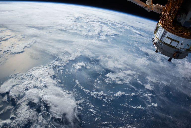
Landsat is without a doubt one of the best sources of free satellite data today. Managed by NASA and the United States Geological Survey, the Landsat satellites have been capturing multi-spectral imagery for over 40 years. The latest satellite, Landsat 8, orbits the Earth every 16 days and captures more than 700 satellite images per day across 9 spectral bands…
Imagine that you have a room filled with dozens of sleeping cats, and you want to know how many cats there are. It would also be good to know some basic insights about your new cat colony — for example, what colors the cats are and whether any of them have extra long tails. This doesn’t seem too difficult, right?…
The first week I joined Atlan, I was given a “hack week” project to present to the rest of the company. My project was simple and open ended: “build something cool”. As a newcomer to Delhi, I was concerned by the infamous air pollution continually hovering over the city. I decided to build two IoT air pollution sensing devices (one…

